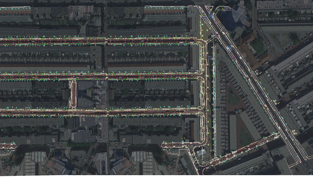
Situation and detail measurements
Geoservice Landmeetkunde carries out situation and detail measurements for a wide range of customers. This includes surveying reconstruction projects for municipalities or provinces as well as revision measurements (as-built) in civil engineering sectors and the building and construction sector. Geoservice Landmeetkunde executes all of these surveys in an accurate and fast manner.
Situation and detail measurements by GPS/Totalstation
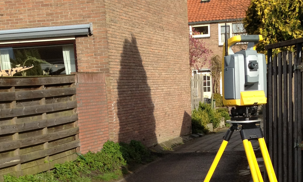
Most often, we carry out situation and detail measurements by means of our GPS and total-station sets, depending on the project and the environment. If objects are inaccessible, we will deploy our Trimble TX8 laser scanner. This happens for matters including scanning electricity cables and wind turbines.
The result can be submitted in any requested format, fully to your preference!
Dwg,dxf,dgn format in 2d or 3d, it’s up to you!
More information?
Would you like to receive personal advice from our professionals?
Get in touch with usDeformation measurements
 1
1
Deformation measurements
Bridges, fly-overs, engineering works, …
Cadastral surveys
 1
1
Cadastral surveys
Geoservice Landmeetkunde is the expert in cada…