Land surveying with Geoservice
Geoservice Landmeetkunde is your professional, reliable and affordable partner in the field of land surveying. All of Geoservice Landmeetkunde’s land surveyors are highly experienced and work with the latest and most sophisticated equipment and technology. Our cooperation in land surveying reaches far beyond providing the most accurate measurements; we will ensure that your land surveying project is finished at the best possible quality level.
Geoservice: for any land surveying project
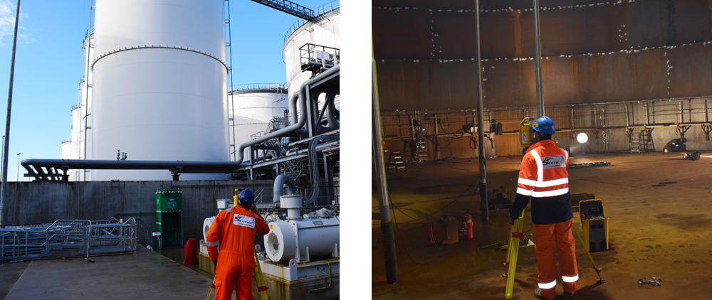
Our services in the field of land surveying include cadastral services and altitude measurements up to verification measurements and piping registration. In the field of land surveying, we execute large projects for municipalities, authorities, utility companies and other companies. Geoservice Landmeetkunde’s land surveyors can be deployed in any phase of building or development, on land or on water. We are continuously investing in the latest equipment and human resources because we set stringent requirements on land surveying.
Geoservice Landmeetkunde always aims for an affordable, bespoke cooperation in land surveying.
Geoservice is your cooperation partner in land surveying for:
- Situation and detail measurements
- Cadastral services >
- Altitude measurements >
- Piping registration >
- Verification measurements >
- Deformation measurements >
Our land surveyors will always be at your service!
More information?
Would you like to receive personal advice from our professionals?
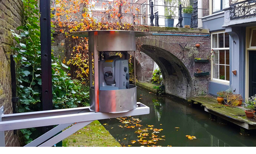
Get in touch with usOnline monitoring of buildings, objects and structures
 1
1
Online monitoring of buildings, objects and structures
Real-time…
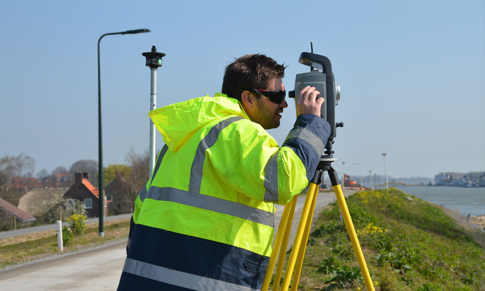
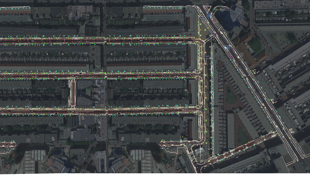
Situation and detail measurements
 1
1
Situation and detail measurements
Geoservice Landmeetkunde carri…