Geoservice Land Surveying
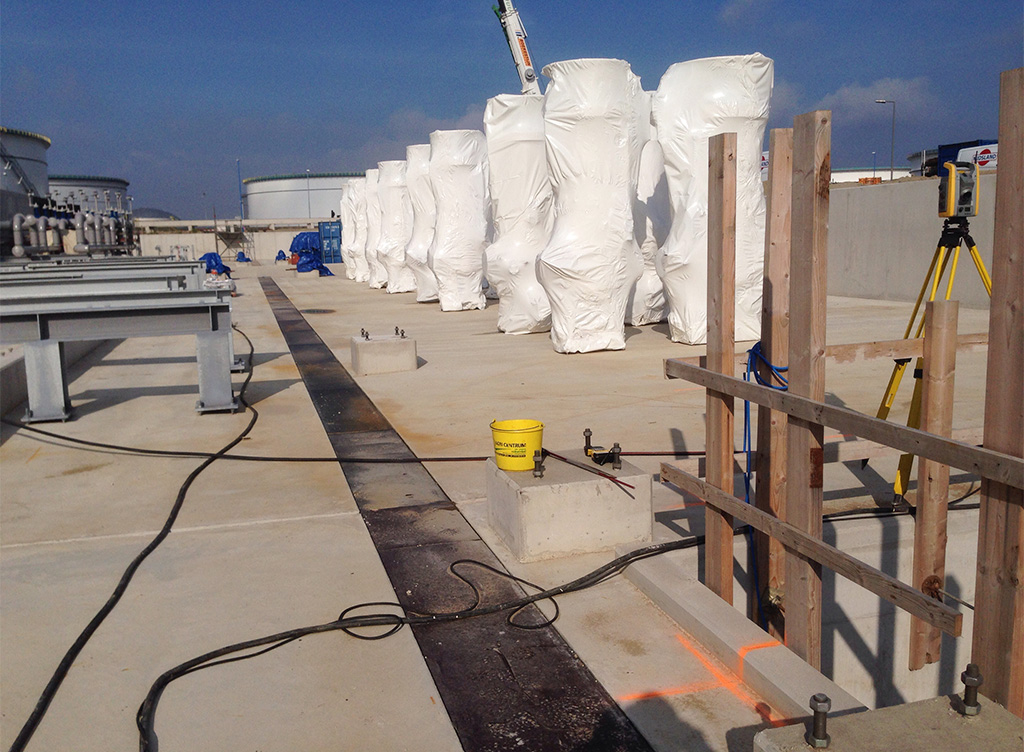
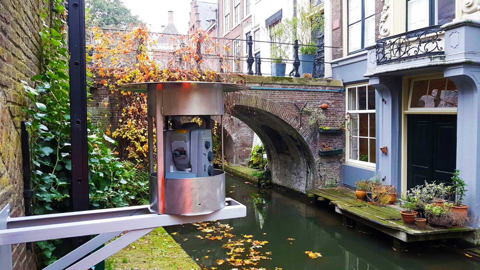
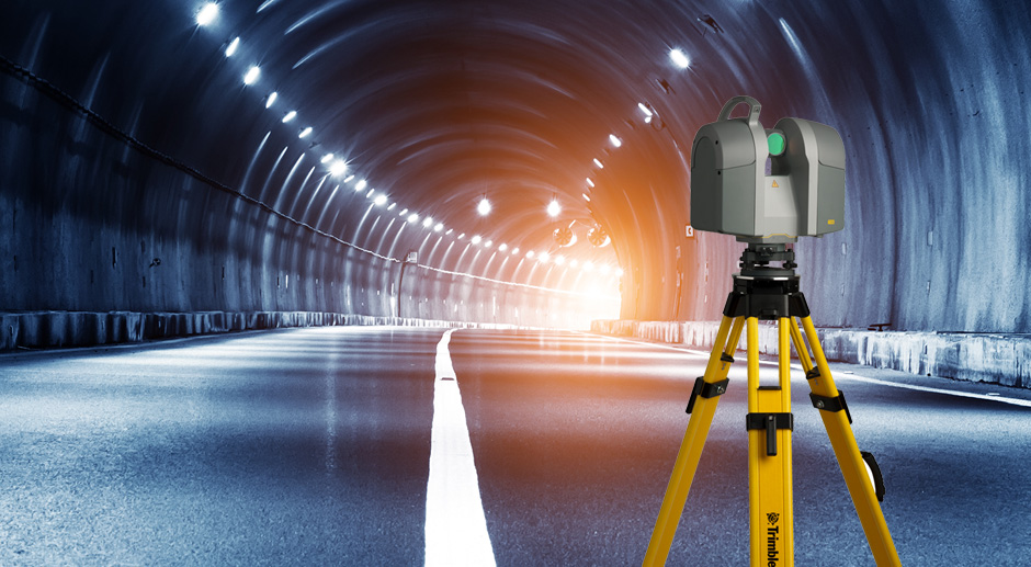
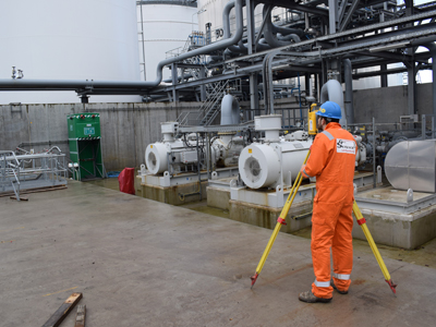
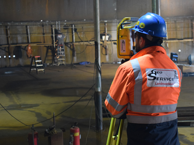
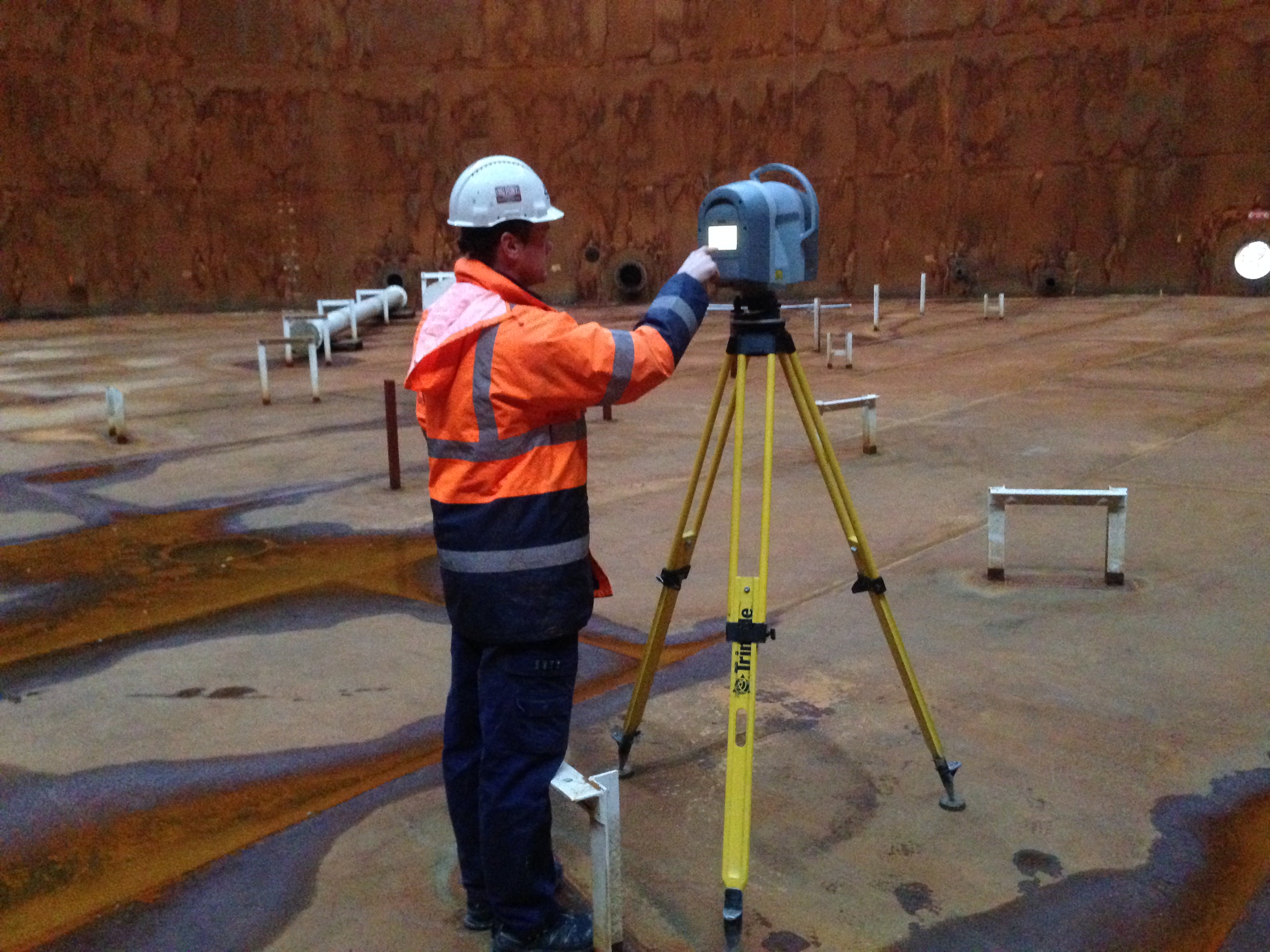
Geoservice Land Surveying is the partner in the field of land surveying, cadastral surveying, industrial measurements and 3D laser scanning. From dimensioning in building and construction and surveying of storage tanks to border reconstructions and verification measurements. Our professional team will be at your service 24/7.
Would you like personal advice from our professionals?
Contact us
Interested in the possibilities?